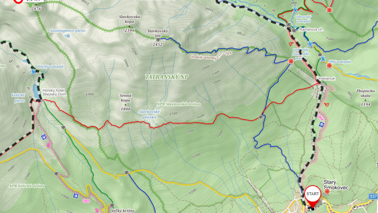
It always surprised me that people get lost in the mountains, even though they have smart cellphones with GPS. I’d like to share my experience with navigation using the map applications on mobile.
I use a mobile phone on the Android platform, but the part related to the Mapy.cz app could be used also by Apple users.
On my Android I have installed additionally to Google Maps two map applications containing maps and route planning:
- Mapy.cz
- Locus
Each of these apps has its own advantages. Mapy.cz is easier to use, Locus is more complex.
Both of them support the English language. The illustration pictures I created for the Czech version of this article, so they are in Czech,
Mapy.cz

Mapy.cz is a map web site, allowing the display touristic and standard maps for the whole world as well as a satellite view.
This web allows to plan routes and create itineraries,
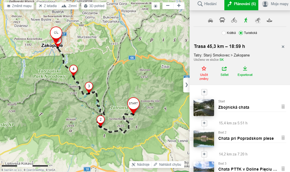
there is an elevation profile View,

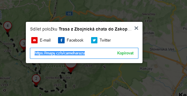
possibility to share a route as a link,
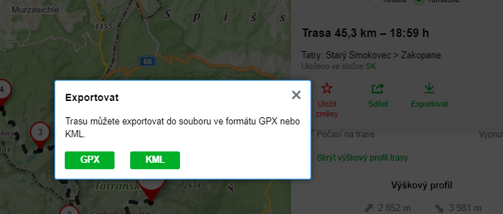
and export to KML GPX file.
After logging in, you can store routes in directories.

You can also view all the routes stored in the Mapy.cz mobile app:
- Android: https://play.google.com/store/apps/details?id=cz.seznam.mapy&hl=cs
- Apple: https://apps.apple.com/cz/app/mapy-cz/id411411020?l=cs

Locus
Locus application for Android is a mobile map application that allows you to navigate by online or offline maps.
You could find complete description and guides on the Locus homepage https://www.locusmap.eu/
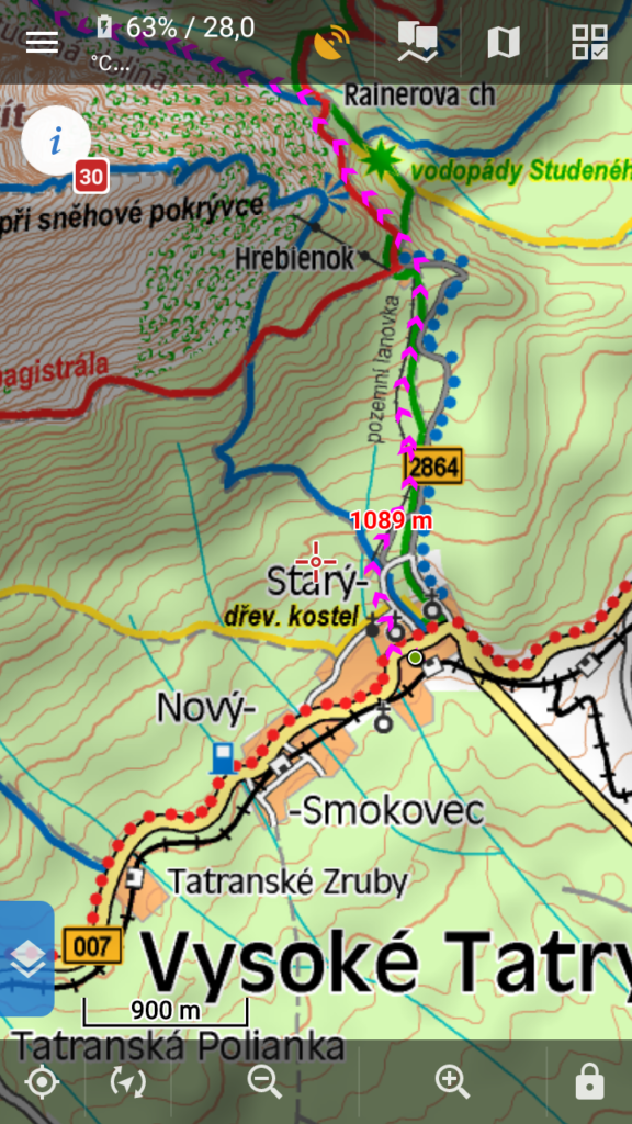
In addition to online maps of different providers allows for a small fee directly in the application download maps or free import vector maps for example from https://www.openandromaps.org
In addition to maps, you can import routes for example in GPX format.
Create and upload a route to locus
An interesting option is to plan a route to https://mapy.cz/turisticka, save the GPX file on Google Drive and then open GPX from Google Drive in Locus app.
